Note: A tornado watch was issued for much of this area shortly after the post below was made.
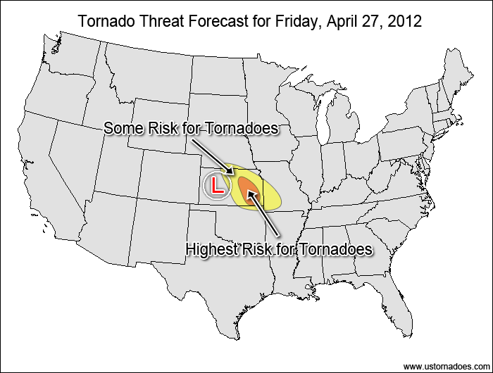
Instability is growing and we are getting closer to storm initiation along the dry line this afternoon as a low pressure system brings forcing and height falls eastward into the southern Plains.

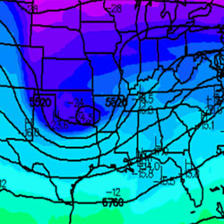
You can see the main forcing on the visible satellite where an arcing cloud band is working eastward into the Texas Panhandle:

Once the forcing reaches the dry line, storms with tornadic potential will start to form within the initiation zone. Storms are expected to initialize within the next few hours.
The following two tabs change content below.


Operational Meteorologist at WeatherBug (Earth Networks). See full bio.
Latest posts by Mark Ellinwood (see all)
- Spring 2023 seasonal tornado outlook - March 1, 2023
- Spring 2022 seasonal tornado outlook - March 1, 2022
- Spring 2021 seasonal tornado outlook - March 1, 2021