1-3 DAY
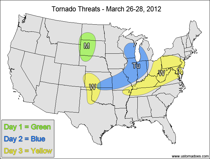
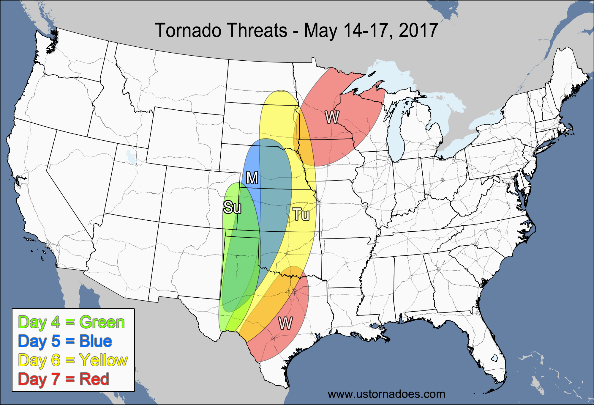
Monday
Northern Plains — POTENTIAL: Low — CONFIDENCE: Normal
With a fairly significant cap in place along with high LCLs in the warm sector, it will be difficult for storms to produce tornadoes. As storms develop in the far northeastern Plains and western Midwest overnight, a stable boundary layer should keep storms elevated, basically eliminating the tornadic potential. However, should isolated storms form in the warm sector and last long enough to lower the cloud base, one or two tornadoes could occur as the strong upper-level dynamics and wind shear give the storms rotation.
Tuesday
Midwest, central Plains — POTENTIAL: Low — CONFIDENCE: Normal
As the upper-level disturbance and trailing cold front advance, lift will remain strong enough for storms to initiate, but directional wind shear will be fairly low in most of the risk area with low to moderate CAPE. The lack of directional shear along with a fairly weak surface wind convergence zone associated with the cold front will keep probabilities low.
Wednesday
Central and southern Plains — POTENTIAL: Low — CONFIDENCE: Normal
Moderate CAPE and strong directional shear associated with a lee trough and dry line will create an environment capable of producing tornadic storms. However, a lack of upper-level support and speed shear will limit the potential.
Eastern Midwest, Tennessee Valley, Mid-Atlantic — POTENTIAL: Low — CONFIDENCE: Normal
As the low weakens and the cold front slows down, some slight tornado potential remains with decent wind speed shear and low to moderate CAPE, but poor directional shear and surface wind convergence remain the two biggest inhibitors.
4-7 DAY
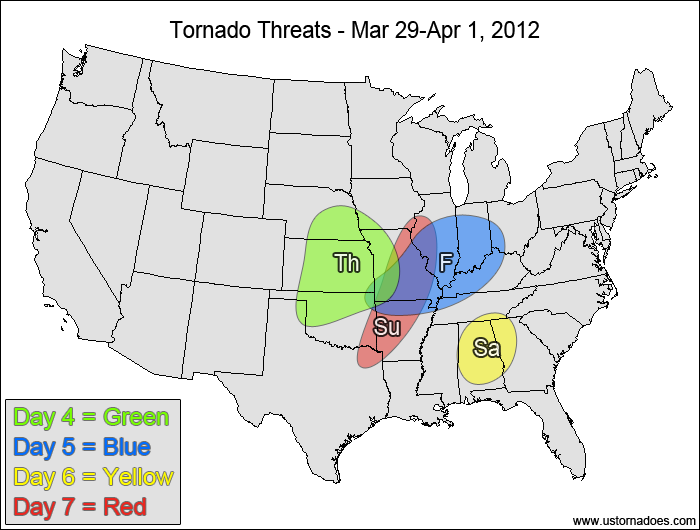
Central Plains, southwestern Midwest — POTENTIAL: Medium — CONFIDENCE: Normal
A shortwave trough will move into the Plains on Thursday, tapping into moderate to high amounts of CAPE and moderate shear to create tornadic potential to the south and east of a developing surface low. North and east of the risk area, a low-level temperature inversion will keep storms elevated. Storms firing south of the risk area in Texas will have low to moderate CAPE and a good amount of directional shear to work with, but the wind speed shear is very weak and storms that do form should not have any tornadic potential.
Friday
Southern Midwest — POTENTIAL: Low — CONFIDENCE: Normal
Low to moderate instability ahead of a weak disturbance will bring the tornado potential into the southern Midwest, though low-level directional shear will remain a problem as the weak surface low pushes eastward.
Saturday
Southeast — POTENTIAL: Very Low — CONFIDENCE: Low
Extensive cloud cover and rain showers along with fairly weak shear will limit the tornadic potential, but areas that receive enough sunshine ahead of a weak upper-level vorticity maximum could have enough instability and forcing for a tornado to develop.
Sunday
Location — POTENTIAL: Low — CONFIDENCE: Low
Models diverge greatly by Sunday as the next system starts to develop in the Plains and Midwest, with anything from no storms to a line of strong storms possible. Confidence is very low as there is virtually no model agreement or run-to-run consistency.
Latest posts by Mark Ellinwood (see all)
- Spring 2023 seasonal tornado outlook - March 1, 2023
- Spring 2022 seasonal tornado outlook - March 1, 2022
- Spring 2021 seasonal tornado outlook - March 1, 2021


