
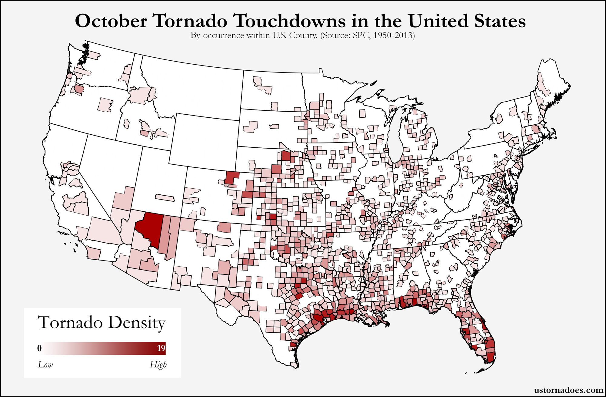
The map above shows county-level impacts of U.S. tornadoes from 1950-2011 during the month of June. In this analysis, if one tornado crosses multiple counties, we have included it as an individual tornado for each county hit.
Moving through June, we see hotspots in the northern and western Plains, with particular focus on the high Plains from Texas through Wyoming and even to the north. The month is usually still fairly active, though perhaps on a smaller scale per most events compared to April and May. There can also be an abrupt end to the peak season by the final stretch of the month as summertime patterns set in.
Weld County, Colorado led the way for June tornado impacts at 83. Adams County, Colorado is also at the top of the list with 64 tornadoes. The other counties rounding out the top five are; Hale County, Texas with 44, Lincoln County, Colorado with 41 and Elbert County, Colorado also with 41 tornadoes.
View interactive map » (pops up in sized window — works best in Firefox)
Maps: May Tornadoes | April Tornadoes
Map can be viewed larger by selecting. Data obtained through the Storm Prediction Center. Get updates on U.S. Tornadoes on Twitter and Facebook.
Katie Wheatley
Latest posts by Katie Wheatley (see all)
- March 29-31, 2022 tornado outbreak - April 3, 2022
- March 25, 2021 tornado outbreak - March 25, 2021
- May 3-4, 1999 tornado outbreak and the Bridge Creek-Moore F5 - May 3, 2019
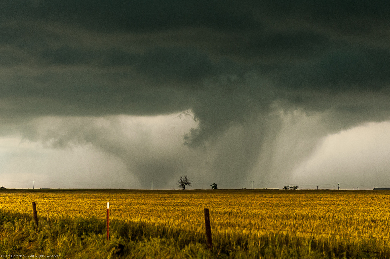
THIS is why I love June in Colorado!