We find ourselves coasting into northwestern Kansas this afternoon. The target’s not that clear today, but we’ll stop for lunch on I-70 and figure out where to go from there.
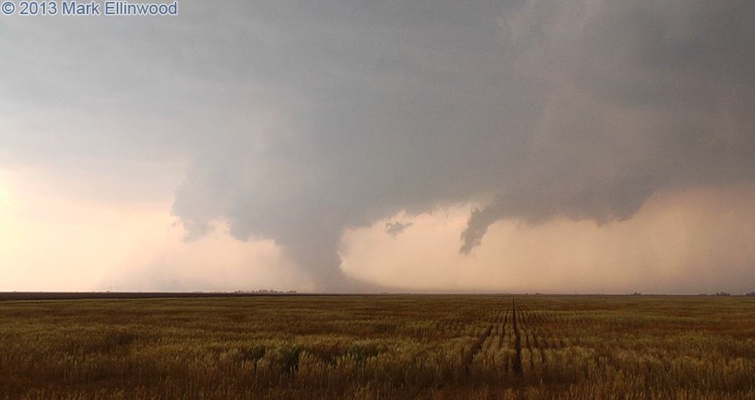
We are still trying to determine if the image below from yesterday was a tornado or not. This storm was ingesting a ton of dust, and for a minute it looked like the dust was getting pulled into a circulation and up into the updraft base, but even on the video it was hard to tell if there was a distinct circulation within the dust. This shot was taken east of Floydada, TX at 2:29pm CDT facing west:
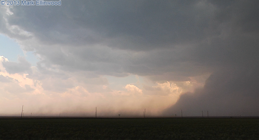
Yesterday’s storm was quite interesting in that not only was it ingesting dust, but it was also kicking up a lot of dust from the outflow boundary. In the image below, you can see the dust near the surface getting pulled into the storm across the left and center part of the image. The more opaque dust further back and to the right of the image is the dust getting kicked up by the outflow boundary.
Latest posts by Mark Ellinwood (see all)
- Spring 2023 seasonal tornado outlook - March 1, 2023
- Spring 2022 seasonal tornado outlook - March 1, 2022
- Spring 2021 seasonal tornado outlook - March 1, 2021