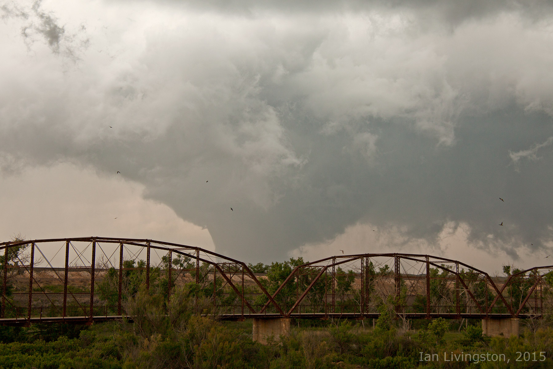
After patiently, but not so patiently, waiting for storms to form in the secondary target of west-central Oklahoma, an outflow boundary from an earlier storm collided with another boundary over western Oklahoma. This caused storms to form across west-central and southwestern Oklahoma, which included a storm that put down a very brief tornado near Hydro, Oklahoma.
We found a viewing area just as the funnel cloud was reaching the ground. The tornado lasted mere seconds before dissipating, but it was enough time for us to get some pictures of it.
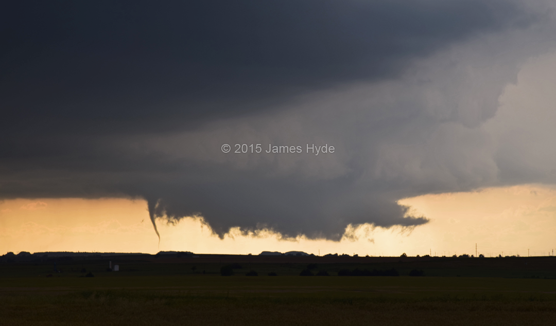
Unfortunately, it was a bit too quick for me to get my camcorder going on it, so the video just has the lifting funnel cloud and wall cloud before a storm to the south ran into the tornadic storm. We were also about 15 miles away from the tornado when it dropped, which didn’t help as far as getting good pictures. But hey, it was confirmed to be on the ground while we were watching it, so it definitely counts.
Latest posts by Mark Ellinwood (see all)
- Spring 2023 seasonal tornado outlook - March 1, 2023
- Spring 2022 seasonal tornado outlook - March 1, 2022
- Spring 2021 seasonal tornado outlook - March 1, 2021