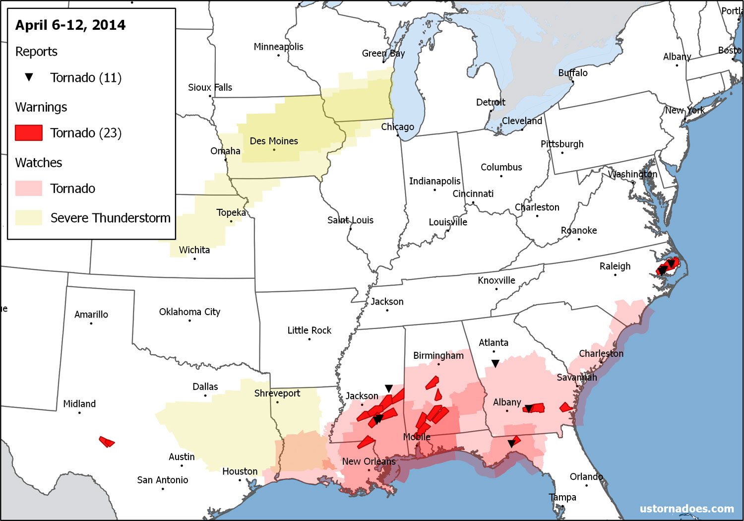
Looking back at the week of April 6-12.
April can be volatile, but lately it seems we talk more about lack of tornadoes and/or tornado droughts than anything else.
The week was dominated by a system that rolled through the south to start the period — Sunday into Monday, April 6 and 7.
As the week closed, some storminess resumed across the Plains, but nothing to write home about at this time of year.
April 6
A storm system developing over the South caused mainly overnight and April 7 tornado activity, but a lone tornado warning was issued in Texas with associated upper-level dynamics moving through earlier in the evening. Storms ramped up around and after midnight further to the east across the northern Gulf coast, but performed on the low end of potential overall.
And… The first Tornado WARNING of the day is near San Angelo, TX… Go figure. LOL! #txwx pic.twitter.com/8x5Ai4uynq
— David Reese (@WXReese) April 7, 2014
April 7
The ramp up in the overnight included tornadoes in Mississippi. One was an EF2 in Covington County.
TDS (tornado debris signature) on Dual Pol radar just south of Taylorsville, MS #mswx pic.twitter.com/GtUNadDPI1
— James Spann (@spann) April 7, 2014
Additional tornadoes were confirmed through the day in Georgia, Florida and North Carolina. An EF2 traveled from near Belhaven to near Pantego in North Carolina during the afternoon.
3:45pm 4-panel on tornado-warned cell in eastern NC. Nasty beast. #ncwx #encwx pic.twitter.com/5b2BEbbA6k
— Nate Johnson (@nsj) April 7, 2014
#Tornado from HWY 264 in Pantego, NC #ncwx #encwx More pictures here: http://t.co/GEFI0OlMpz pic.twitter.com/1VNwNW0YrG
— Patrick Ellis (@PatrickEllisWx) April 7, 2014
At least 7 tornadoes were confirmed from the two-day episode.
The rest of the week
All was quiet until Saturday, April 12, when severe weather returned to the Plains, sans tornadoes.
Activity ramped up into Sunday (covered in the next edition!), but another case where the low end of risk was met more than the high end.
Looking ahead
Severe weather in some fashion will continue east across the southern U.S. today and tomorrow. With a progressive positive tilt trough, the tornado risk should remain relatively benign compared to what April can bring.
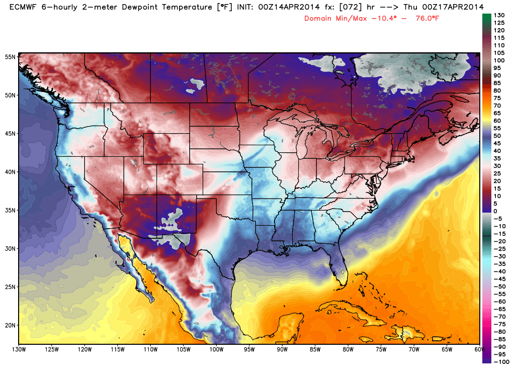
After that it’s back to mostly snooze city for the rest of the week. The first system sweeps a front into the Gulf and cuts off return flow into the central U.S., not to mention a generally unfavorable jet pattern.
As with last week, the odds of storms returning increase heading into next weekend yet it is too early to say where or when the biggest risks may be at this time.
Latest posts by Ian Livingston (see all)
- Tornado outbreaks: April, May and June peak-season primer - April 27, 2025
- Busy March for twisters to end with another multi-day event - March 28, 2025
- Everything but locusts: NWS shines in apocalyptic weather - March 17, 2025