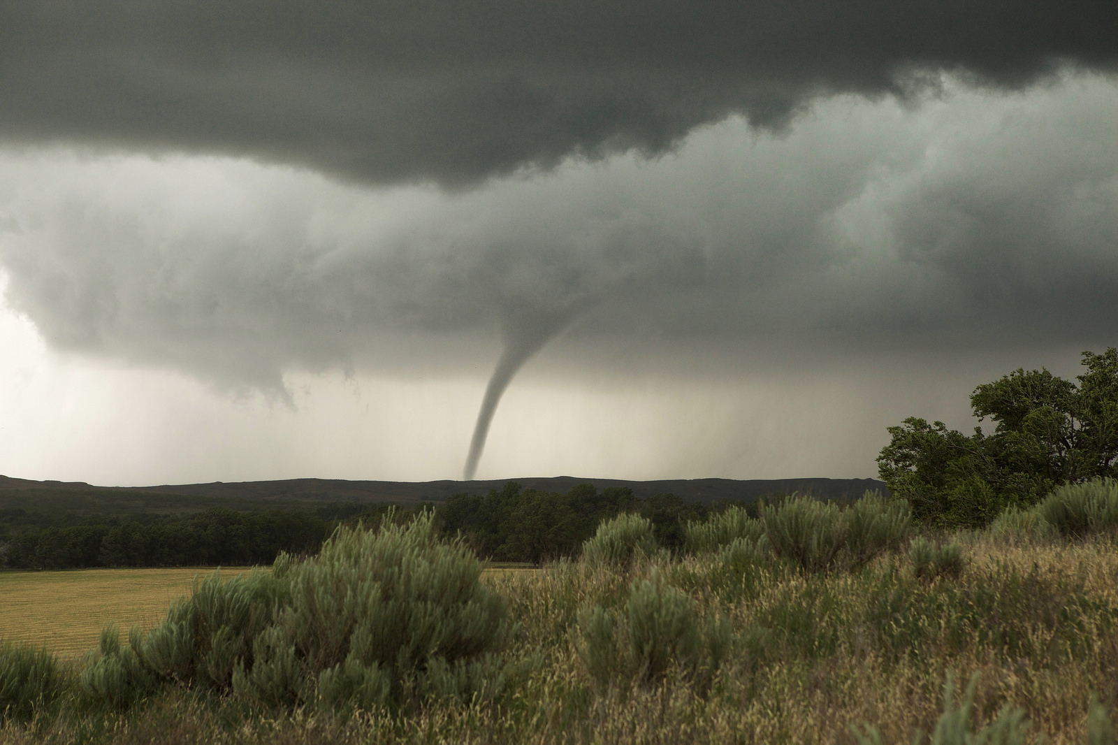
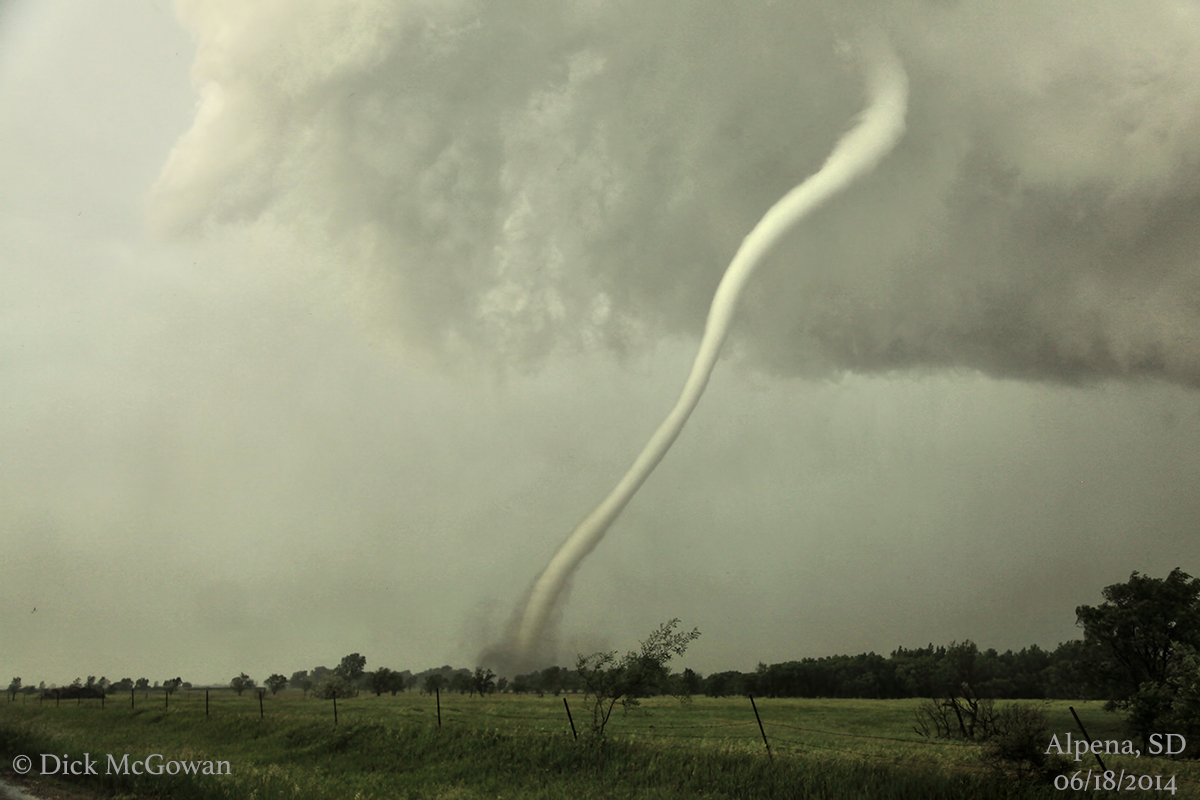
Tornadoes have been no stranger to the U.S. at the start of 2023, with this year ranking near the top of the tornado count in recent history. Will this lead us into an active spring, or will the tornado machine shut down as temperatures get warmer?
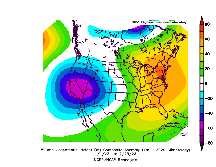
The large-scale pattern has been very conducive for tornado-producing storm systems so far this year, with persistent low pressure troughing over the western U.S. and high pressure ridging over the eastern U.S. This configuration allows storms to dig southward into the southwestern U.S., then lift northeastward across the Plains, Midwest and Great Lakes. With this track, disturbances can easily pull Gulf of Mexico moisture northward and deliver tornado-producing opportunities.
This pattern has been fairly persistent throughout winter, and it looks like it will mostly continue into early March. However, there are signs that there could be a bit of a pattern shake-up heading into the middle of the month.
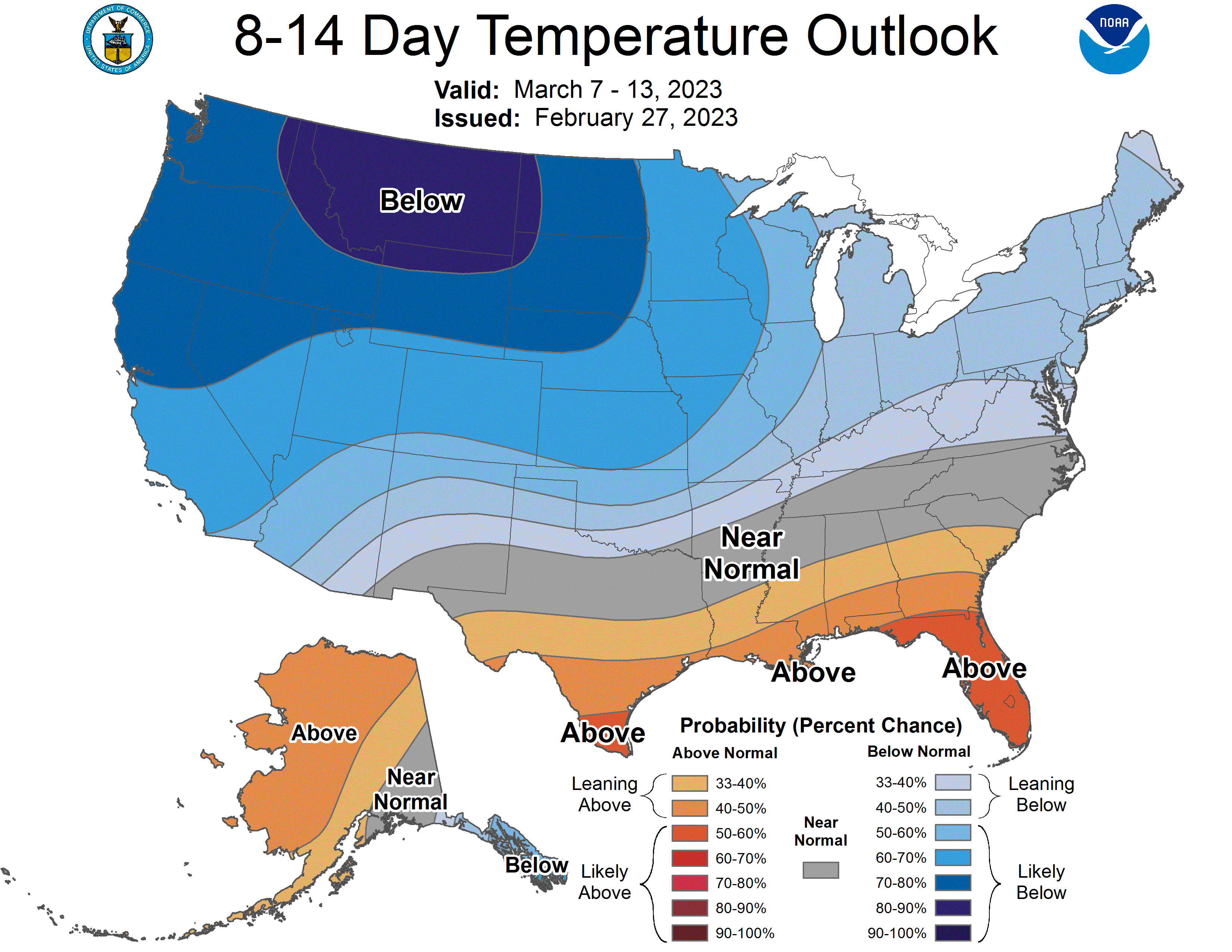
The Climate Prediction Center (CPC) forecast for the second week of March shows a more subdued pattern for tornadoes overall, as a blocking pattern over the Atlantic allows some of the colder air to bleed further into the Midwest and Mid-Atlantic. Despite this, upper-level low pressure troughing is still favored over the western U.S. While the northern extent of the storm potential may be more limited in mid-March, there could still be regular opportunities for tornadic systems across the South.
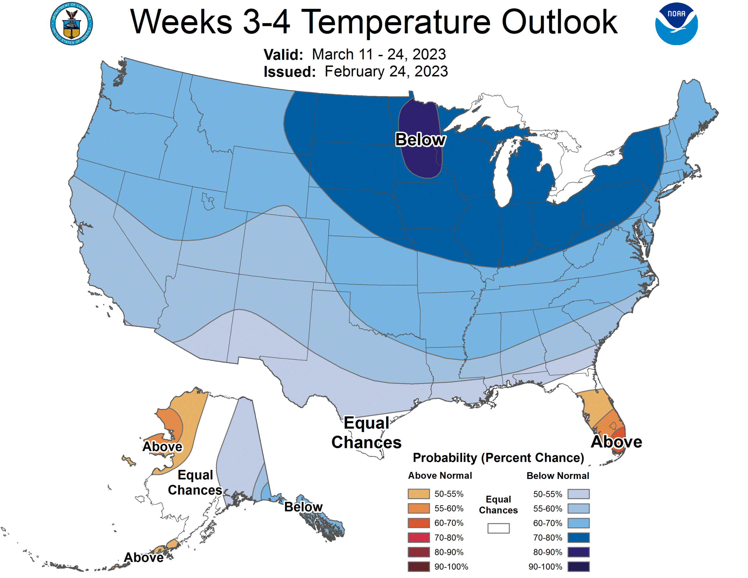
While this pattern change could persist through mid-March as indicated by the CPC’s Weeks 3-4 forecast, there are signs that the blocking pattern will start to relax during the back half of the month. This could allow the return of warmer temperatures in the eastern U.S., along with a more favorable pattern for tornado development.
Heading into April and May, larger background signals such as the El Niño Southern Oscillation (ENSO), Atlantic Multidecadal Oscillation (AMO) and Pacific Decadal Oscillation (PDO) come more into play.
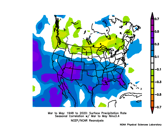
As we exit our third La Niña winter in a row, the lingering effects of La Niña could favor drier than normal conditions across the southern half of the country.
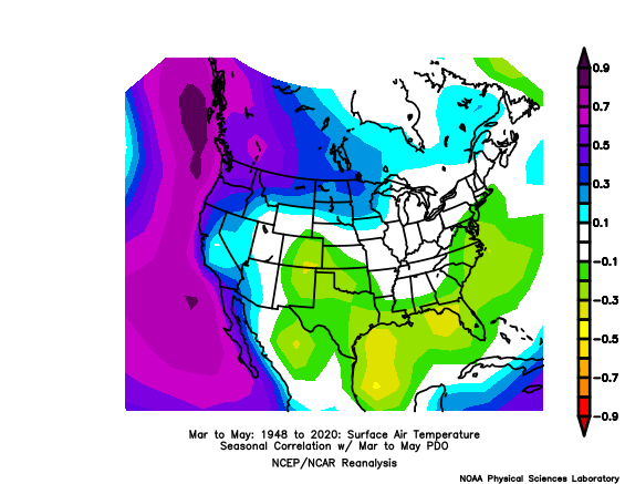
The -PDO has been strong and persistent throughout the winter months, which has been one of the driving factors in letting storm systems drop into the southwestern U.S. Given this pattern’s persistence, it could continue to allow for favorable storm tracks for severe weather, including tornadoes, deeper into spring.
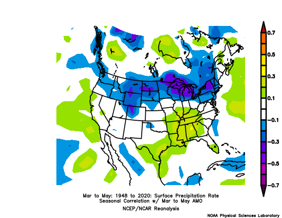
All-in-all, while La Niña may not be the most favorable ENSO pattern for storm setups in the Plains, it appears the -PDO, +AMO, and other factors have been driving the pattern more in recent months.
Given these parameters along with a couple of other choice variables and forecast models, I have come up with 2022, 2021, 2018, 1972, and 1955 as my top analogs (with less weight on 2018).
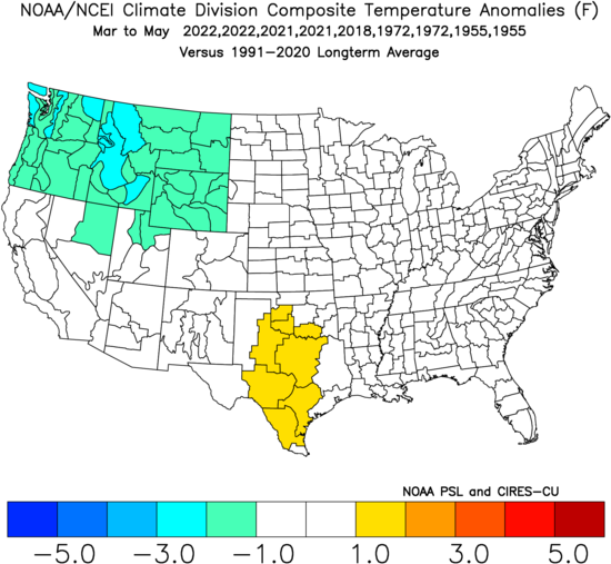
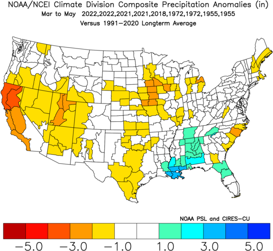
The analogs don’t provide that strong of a signal in either direction, but there are some details to pick out. Slight cool anomalies in the northwestern U.S. and warmer anomalies in the southern Plains could indicate that the upper-level pattern remains somewhat more favorable than not for spring tornadoes. In terms of precipitation, much of the country sits near normal levels.
These years also indicate that some dryness may return to parts of the Southwest and Midwest this spring, with wetter than normal conditions possible in the Southeast.
Bottom Line
It seems that this spring has more things going for it than against it, so long as the background pattern we have seen dominate the first two months holds on to some degree. Unless the mid-March pattern change becomes a more permanent feature, I am leaning toward a near normal spring tornado season, with a little upside potential for a more active season.
Odds of the tornado count ending up below/near/above the normal of 511 tornadoes (NOAA) for meteorological spring:
Below normal: 25% (less than 470 tornadoes)
Near normal: 40% (between 470 and 550 tornadoes)
Above normal: 35% (above 550 tornadoes)
Long term forecasts, while generally providing added value to climatology, are still very broad-brush outlooks and do not offer a very consistent level of skill. This forecast only hopes to capture some of the most reliable information available to provide a best guess as to what spring may bring.
Latest posts by Mark Ellinwood (see all)
- Spring 2023 seasonal tornado outlook - March 1, 2023
- Spring 2022 seasonal tornado outlook - March 1, 2022
- Spring 2021 seasonal tornado outlook - March 1, 2021