A short-wave trough will bring an enhanced threat for isolated tornadoes into the northern Mid-Atlantic and southern New England tomorrow.

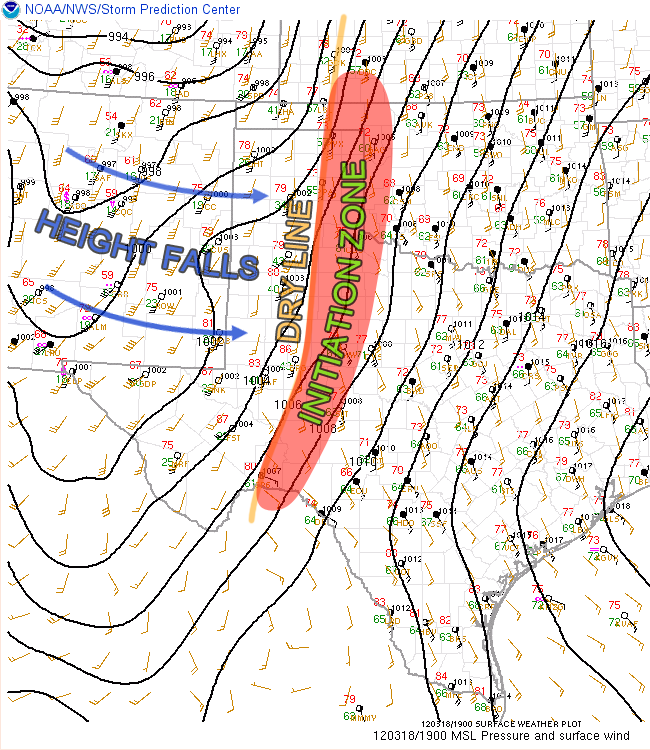
This trough, while not strongly pronounced in the 500mb vorticity, will be bringing moderate to strong shear into an area with 2000-3500+ J/kg CAPE. These indices along with surface frontal forcing will allow for widespread strong, organized storms. Most of the winds in the mid and upper levels will be unidirectional out of the west, with the low-level directional shear being the main focus for the overall tornado potential. There are two main areas to watch for tornadoes, with the primary area being along a warm front that is forecast to be over southern New York and southern New England. The secondary area will be along the cold front, which will extend from western New York down into the southern Midwest and beyond.
Near the warm front, winds are expected to have a bit more of a southerly component at the surface compared to the rest of the warm sector, which will enhance the tornado potential. The risk along the cold front will be less because the low-level winds are going to have more of a westerly component, limiting the directional shear. It will be hard to nail down the overall potential and the greatest risk area until tomorrow afternoon, with morning convection over New York and New England controlling the final position of the warm front. The amount of directional shear along the warm front, while better than the rest of the warm sector, is still questionable at this point.
Given the conditional nature of the setup, a realistic bet would be for 2-4 tornadoes, with some upward potential IF the directional shear can become more favorable in the low-levels, especially along the warm front.
The SPC afternoon update upgraded to a Moderate Risk for tomorrow in the same general area that I highlighted above, with the main focus being on severe winds. They also mention a tornado threat, as quoted below:
A RELATIVELY NARROW CORRIDOR OF ENHANCED TORNADO RISK SHOULD DEVELOP
ALONG THE WARM FRONTAL ZONE WHERE EFFECTIVE SRH AND STRONGEST
DEEP-LAYER SHEAR WILL BE MAXIMIZED. ALTHOUGH PINPOINTING THIS
CORRIDOR IS DIFFICULT GIVEN LIKELIHOOD OF PRECEDING OVERNIGHT
CONVECTION…IT APPEARS MOST PROBABLE FROM PARTS OF NY INTO SRN NEW
ENGLAND. SOME CONVECTION-ALLOWING GUIDANCE SUGGESTS THAT DISCRETE
CONVECTION MAY FORM WITHIN A PERSISTING WAA REGIME THU AFTERNOON.
Latest posts by Mark Ellinwood (see all)
- Spring 2023 seasonal tornado outlook - March 1, 2023
- Spring 2022 seasonal tornado outlook - March 1, 2022
- Spring 2021 seasonal tornado outlook - March 1, 2021