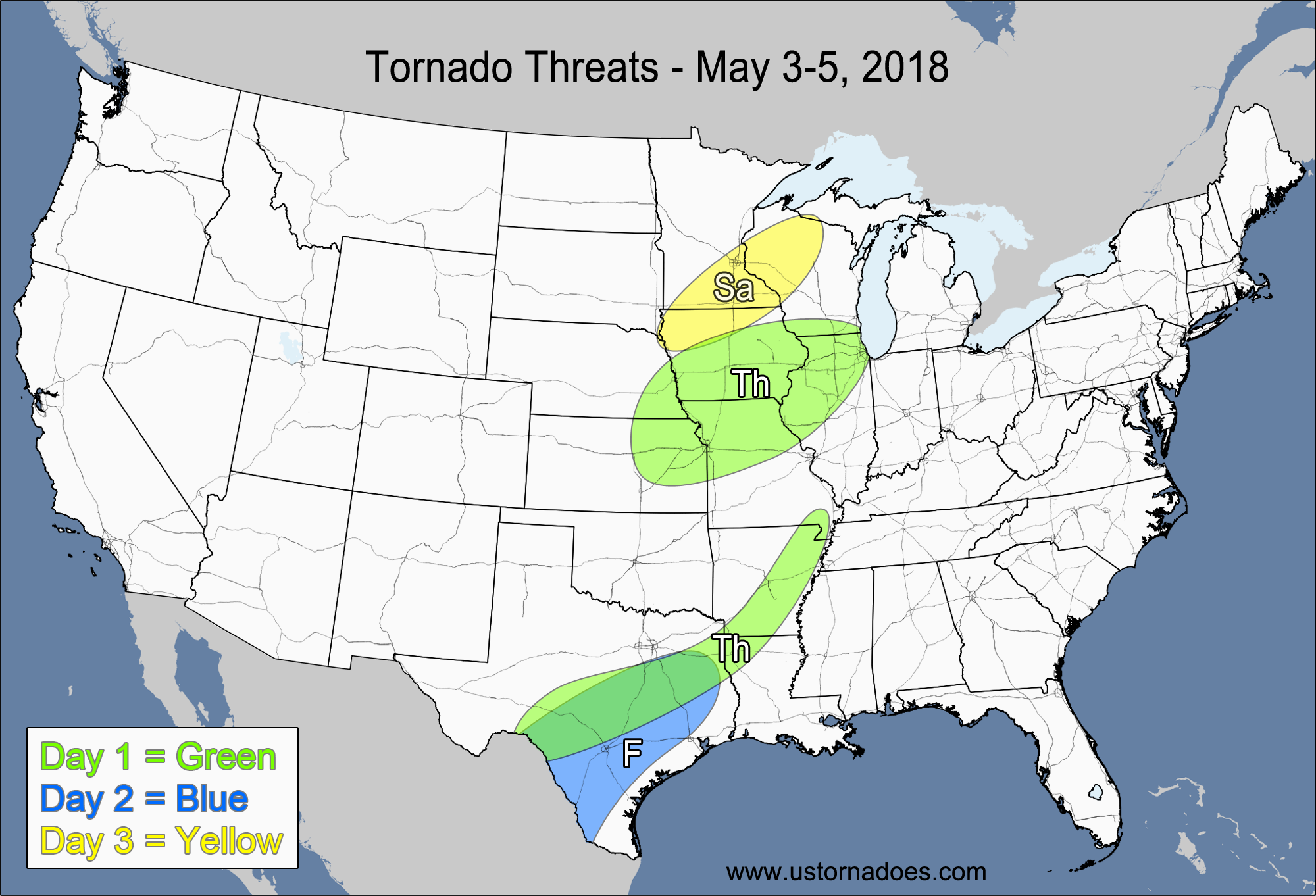
1-3 DAY
Southern and central Plains — POTENTIAL: Medium — CONFIDENCE: High
Moderate to high instability and low to moderate shear along a dryline will allow for tornadic storms to develop. However, weak mid-level and upper-level winds will keep the overall tornado potential limited to a medium risk.
Southeastern Midwest — POTENTIAL: Very Low — CONFIDENCE: High
Enough directional shear is present in the low-levels for tornadic development, which will be in a low to moderately-unstable atmosphere. However, mostly unidirectional flow aloft will generally keep storms in a more linear/bowed mode, which will limit the potential.
Tuesday
Northern/central Plains, western/southern Midwest — POTENTIAL: Medium — CONFIDENCE: Normal
A shortwave trough with a weak surface low will pass through the northern Plains, with low-level moisture surging northward ahead of the disturbance. The greatest threat will once again be along the dryline/cold front in the Plains, where CAPE is forecast to reach into the 2500-3500 J/kg range. The shear will be best in the northern parts of the risk area, and there is the potential for at least several tornadoes, but confidence in this area is not high enough to bump up the categorical Potential.
Texas — POTENTIAL: Low — CONFIDENCE: High
Storms may be able to form in a moderate CAPE environment along the dryline in Texas, but storm coverage is expected to be very isolated, with weak shear.
Wednesday
Central Plains, Midwest — POTENTIAL: Medium — CONFIDENCE: Normal
Stronger low-level wind speed shear coupled with low to moderate CAPE will extend the tornado threat further into the Midwest, with moderate to high CAPE on the order of 3000-4000 J/kg in the central Plains. The southern parts of the risk area will be limited by the weaker shear and higher LCLs. The models are struggling to initiate storms from Kansas southward due to these inhibitors in addition to drier air aloft.
4-7 DAY
Plains, Midwest — POTENTIAL: Low — CONFIDENCE: Normal
The main tornado threat will be in the Plains on Thursday in a moderate to high CAPE and low to moderate shear environment, but dry air aloft could inhibit storm formation. An upper-level trough moving into Texas will provide some dynamical forcing which could allow for greater storm coverage. The shear will be fairly weak in the Midwest, but there is enough directional shear coupled with low to moderate CAPE to allow for a very low tornado risk in these areas.
Friday
Central Plains, Midwest — POTENTIAL: Low — CONFIDENCE: Normal
A lack of wind speed shear will be the number one tornado inhibitor on Friday, but moderate to high CAPE in the east-central Plains and western Midwest along with low-level directional shear could be enough to spawn one or two tornadoes. The western Midwest appears to have the best combination of CAPE and shear on Friday.
Saturday
Central Plains — POTENTIAL: Medium — CONFIDENCE: Low
An upper-level trough advancing into the Northwest will pull low-level moisture northwestward into an environment with very good directional wind shear and moderate speed shear, allowing for a higher tornadic potential. However, the upper-level energy is forecast to hang back in the Northwest, which will limit the overall dynamic forcing. Confidence falls to lower than normal due to poorer agreement between the models.
Sunday
Central Plains — POTENTIAL: Medium — CONFIDENCE: Low
Sunday will have a similar setup as Saturday, with moderate to high CAPE, good directional shear and weak speed shear. Confidence is very low due to the poor model agreement in the pattern progression.
Latest posts by Mark Ellinwood (see all)
- Spring 2023 seasonal tornado outlook - March 1, 2023
- Spring 2022 seasonal tornado outlook - March 1, 2022
- Spring 2021 seasonal tornado outlook - March 1, 2021


