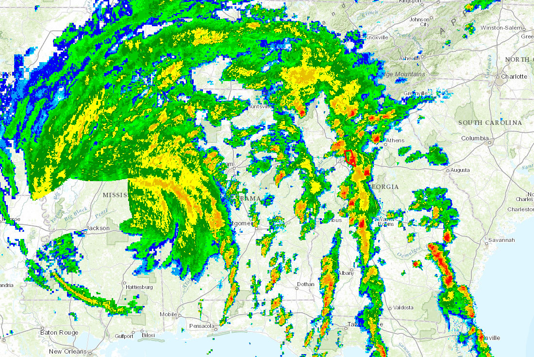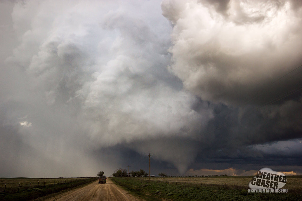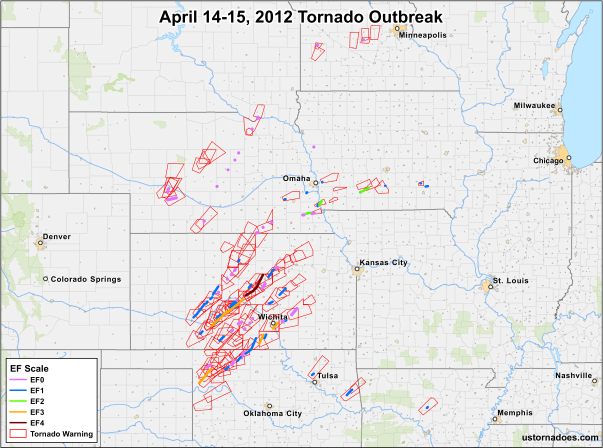
A year ago today, the largest tornado outbreak in 2012 occurred, and it included one violent EF4 tornado which tracked across Kansas. In addition to the map above that shows tornado tracks, their intensity, and the tornado warnings issued by the National Weather Service, here are some quick stats on the event:
- 97 tornadoes, 139 tornado warnings
- 134 counties received tornado warnings, 63 counties had tornadoes pass through
- Longest track: 48.02 miles
- EF4, 1 | EF3, 5 | EF2, 3 | EF1, 33 | EF0, 55
- 6 deaths, 73 injuries
Related: Event videos | Radar and satellite | Debris balls | Verification | Reports are reports
Note: To categorize this outbreak, we’ve followed the no break longer than 6 hour rule. Some places count tornadoes in the outbreak sequence but outside this period as part of the same outbreak.
The following two tabs change content below.

Katie Wheatley
Katie currently works as a GIS Analyst for EA Engineering, Science and Technology, Inc., PBC in Hunt Valley, Maryland. See full bio.
Latest posts by Katie Wheatley (see all)
- March 29-31, 2022 tornado outbreak - April 3, 2022
- March 25, 2021 tornado outbreak - March 25, 2021
- May 3-4, 1999 tornado outbreak and the Bridge Creek-Moore F5 - May 3, 2019