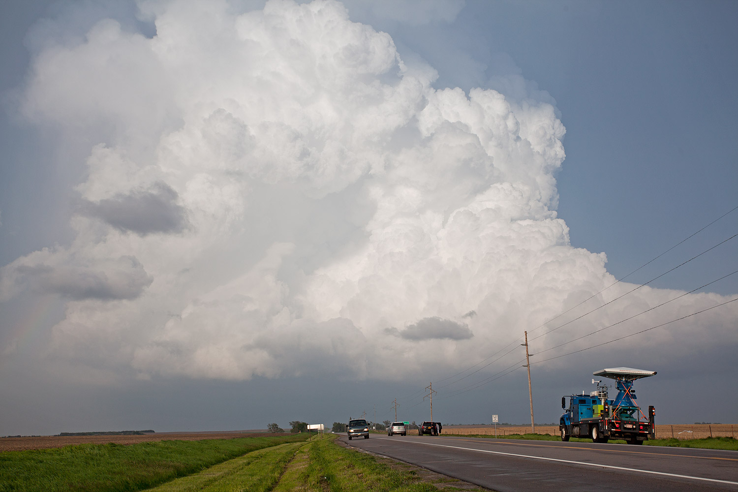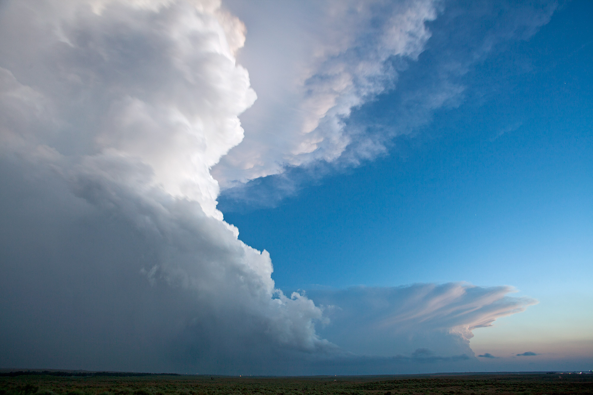
Yesterday provided somewhat lackluster storms in eastern Wyoming and western Nebraska. There were two storms near each other for hours as they slowly progressed east-southeastward. We drove to the northern storm then quickly headed west towards the second cell, which looked a bit better at the time. The second cell was outflow-dominant the whole time we were on it, with a brief kick-up of dust from the RFD being the most exciting part of the day. Surface temperatures were only 57F when we saw that, too! After tracking that storm for awhile, the northern storm became tornado-warned and we decided to position ourselves between the two in case either one did anything interesting. Neither of them did, so we bailed early and got in position for today’s storms. While this storm would have been considered a great storm on the East Coast, our early success in the Plains has us somewhat jaded when it comes to the more relatively mundane storms.
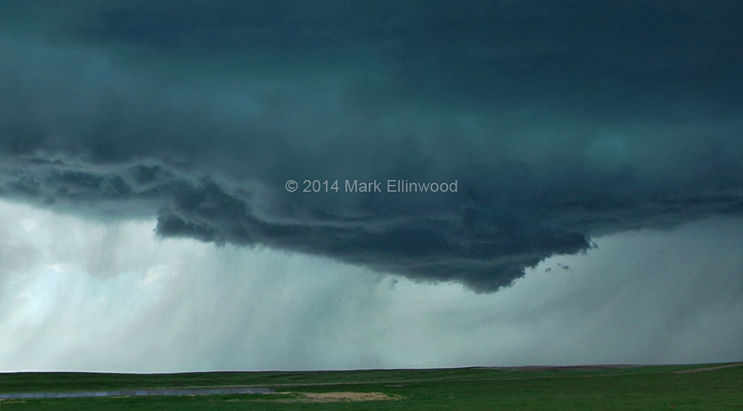
The target for today is northeastern Colorado, where the hope is that the shear and instability will finally be enough to produce a tornado for us. While the structure of our first two days of chasing has been excellent, this is ustornadoes.com, so it would be nice to put some tornado pictures up!
Latest posts by Mark Ellinwood (see all)
- Spring 2023 seasonal tornado outlook - March 1, 2023
- Spring 2022 seasonal tornado outlook - March 1, 2022
- Spring 2021 seasonal tornado outlook - March 1, 2021