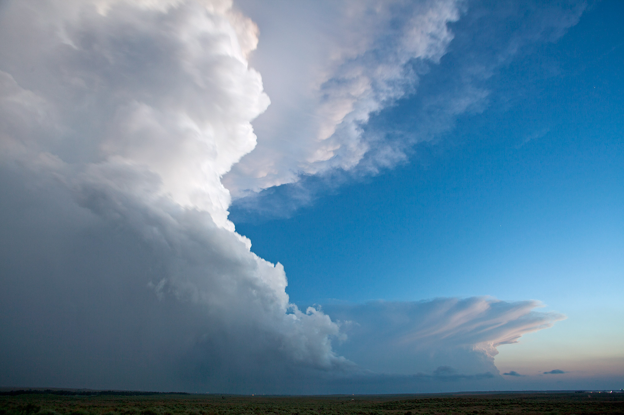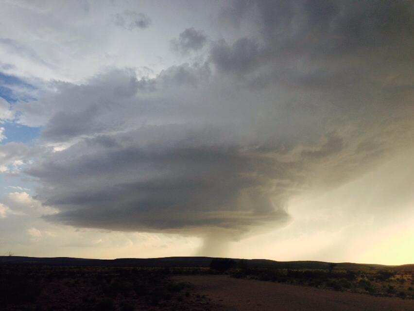
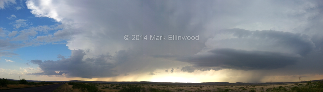
Yesterday we drifted south out of Clovis, NM and staged in Roswell to determine if we wanted to head west or south for storms. Eventually, it appeared that the southern storms coming off of the ridge to the west of Carlsbad were going to be the storms to commit to. We were not disappointed with our decision.
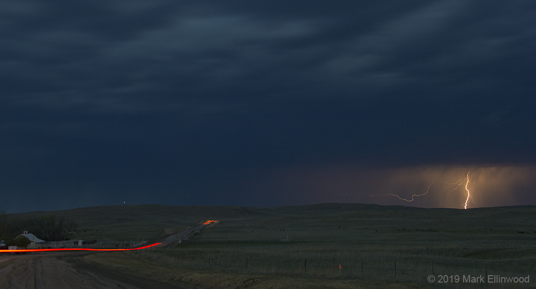
The storms organized into two supercells as they pushed slowly eastward, giving us some amazing views as they spun very close to each other. Eventually the leading storm faded as the second, more western storm took over. After storms from the south came up and disrupted the inflow, the second storm weakened and we decided that that was a good time to start looking for a hotel.
Time lapse of the two supercells:
Today looks like we might actually be able to catch a tornado in the southern Texas Panhandle. The target is the greater Midland area, where an outflow boundary is present and should trigger some strong storms this afternoon. We have yet to chase in an area with a good road network, and today is no different. While we have been doing just fine so far with roads, I would pay for a nice, gridded network with no major worries about where to go as we chase.
Latest posts by Mark Ellinwood (see all)
- Spring 2023 seasonal tornado outlook - March 1, 2023
- Spring 2022 seasonal tornado outlook - March 1, 2022
- Spring 2021 seasonal tornado outlook - March 1, 2021