Today we found ourselves tracking south out of North Platte, Nebraska to get to an area that had good convergence and even a mesoscale low to help pop storms near the Kansas/Colorado border around I-70.
It was a “northwest flow” setup over the central Plains, with northwesterly winds aloft causing storms to travel south and southeast instead of your more typical east and northeast storm motion.
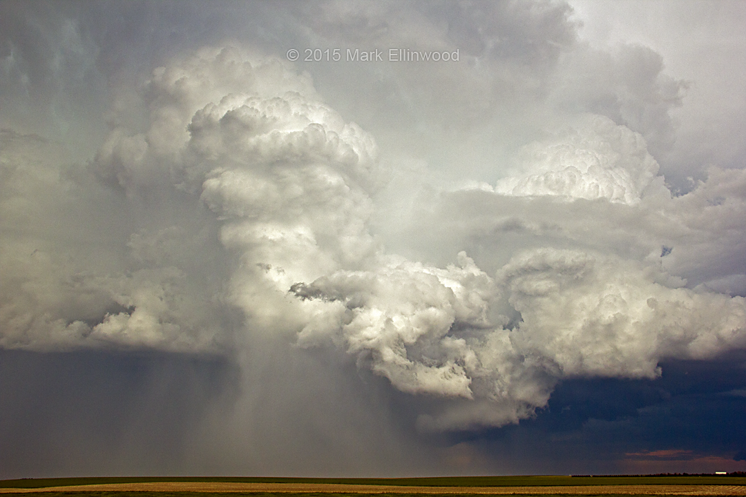
The road networks along the Kansas/Colorado border made chasing storms fairly easy today. We caught two supercells, one in Kansas and one in Colorado that both looked good for a bit, but the cloud bases were too high and the wind shear was not quite strong enough to produce tornadoes.
What we did get was a couple of storms that had their own good qualities about them. Not great structure, but pretty good. Pictured is the second, more southern storm that was traveling along the KS/CO border, with a hail shaft dropping near the left updraft on the image.
Latest posts by Mark Ellinwood (see all)
- Spring 2023 seasonal tornado outlook - March 1, 2023
- Spring 2022 seasonal tornado outlook - March 1, 2022
- Spring 2021 seasonal tornado outlook - March 1, 2021