Will today be the day we end up in Kansas? The trough we’ve been waiting for is finally going to start making waves over the Plains, but complications and small nuances in the pattern will not make any day a slam dunk in terms of seeing a tornado.
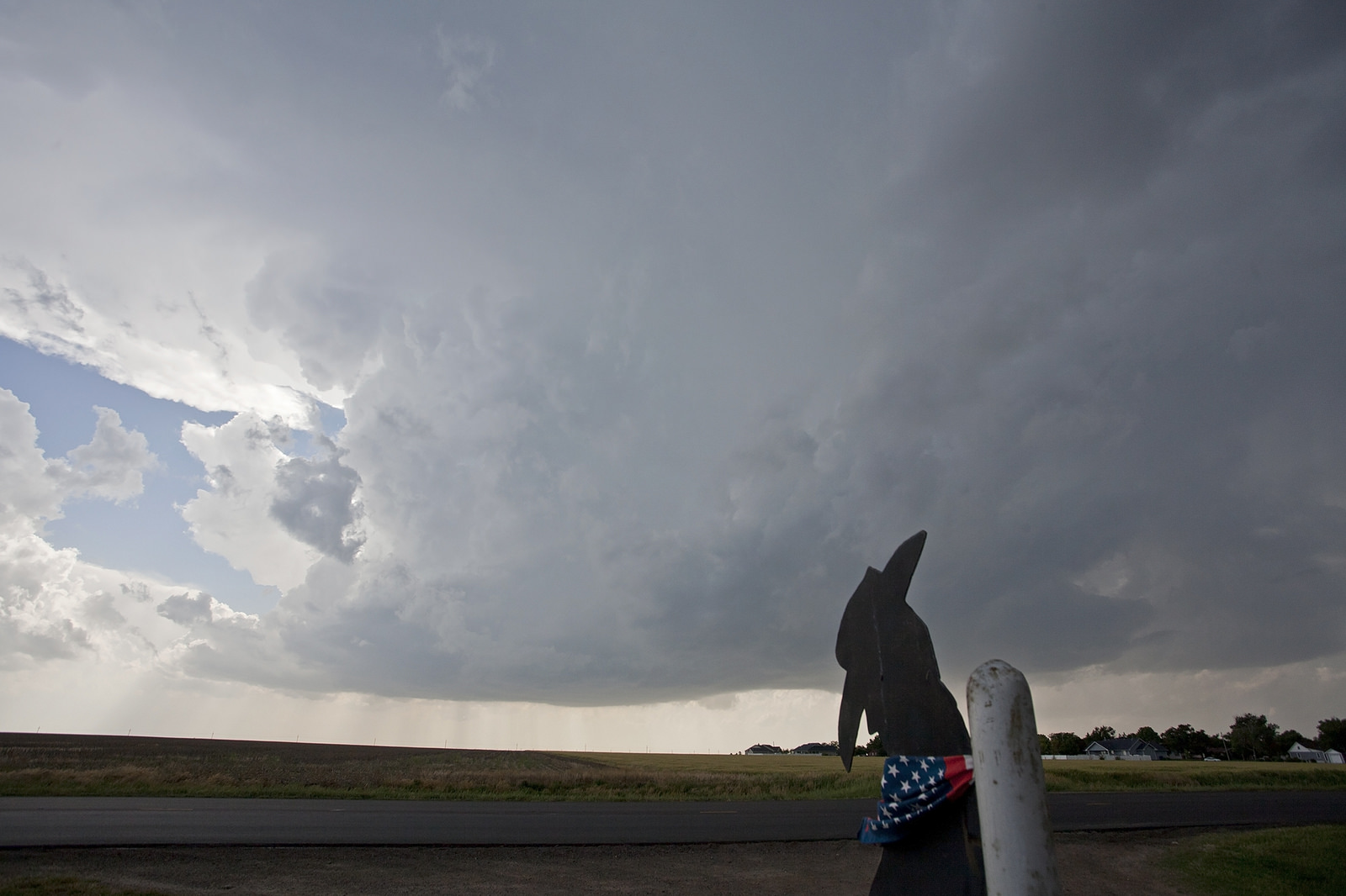
We spent Thursday running around the western half of Nebraska, first to Alliance, where a decent storm was taking shape and looked like it could be the storm of the day until it stalled and was taken out by other incoming showers and storms.
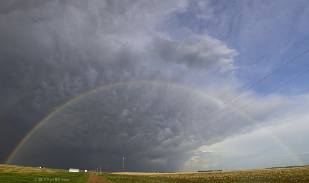
Realizing this storm was cooked, we dropped back to the southeast to catch the back edge of a developing line of storms in southern Nebraska along I-80. The goal was to get some lightning shots, and we did… but before the lightning, we caught a magnificent scene of a full rainbow and mammatus clouds northwest of Ogallala.
Today the SPC has highlighted an enhanced area of tornado potential in Nebraska, but much of the area is in the Sandhills and has a very limited road network. We will stick to the more closely to the Nebraska/Kansas border and see what pops this afternoon.
Latest posts by Mark Ellinwood (see all)
- Spring 2023 seasonal tornado outlook - March 1, 2023
- Spring 2022 seasonal tornado outlook - March 1, 2022
- Spring 2021 seasonal tornado outlook - March 1, 2021