Despite how many Mays and very early Junes we have spent chasecationing in the Plains, a Nebraska tornado was something we had yet to witness, with several busted Nebraska chases over the years. That changed yesterday.
The models were in very good agreement that a dominant supercell would pop off of the dry line near Goodland, Kansas Friday afternoon, which would track northeastward toward McCook, Nebraska at a decent clip. And that’s exactly what happened.
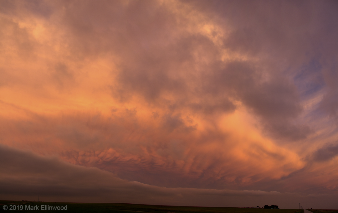
Us and about 1,000 other chasers took to the limited road network in an attempt to see one or more tornadoes from this storm. We decided to get somewhat close to the storm as it was developing in Kansas, but got behind the storm as it traveled across an unforgiving road network, which made staying ahead of the storm difficult to navigate.
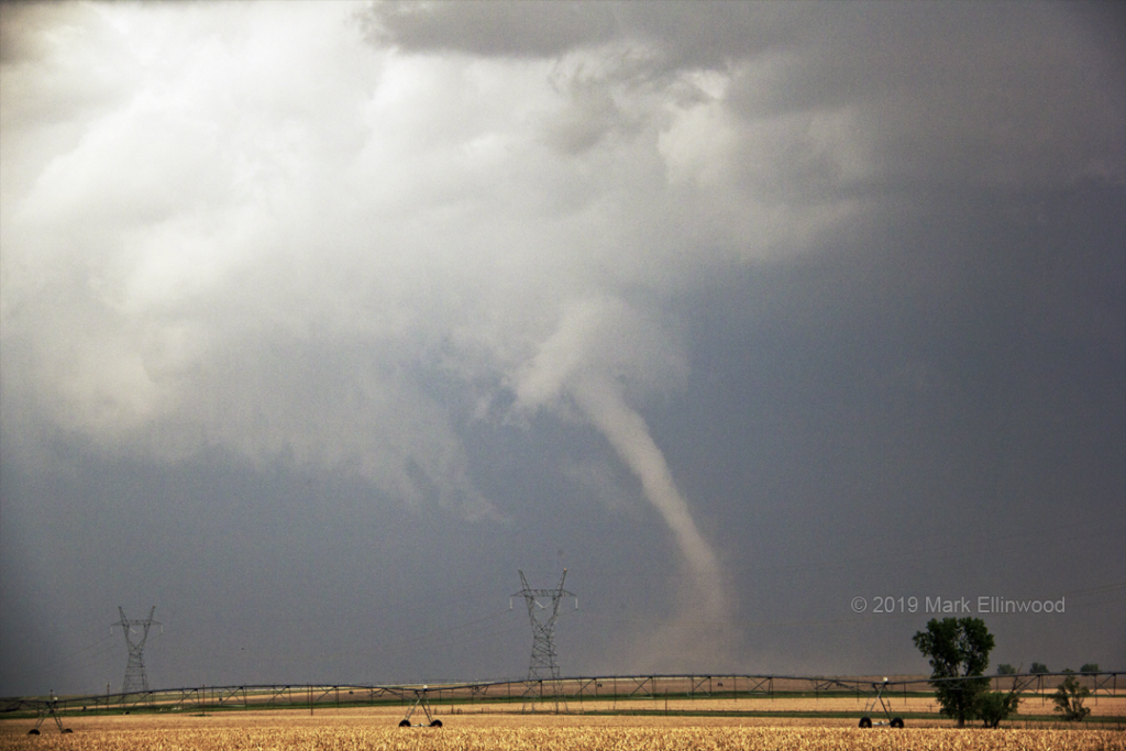
We did manage to watch the full life cycle of the first tornado near McCook from a distance, but we wish we had gotten a bit closer for it. This storm went on to produce more tornadoes that we unfortunately missed.
Today’s target sends us to northern Oklahoma, where the shear is not all that great, but we can still get a decent storm out of it. Sunday will be our down day as we await the next trough that the SPC has already issued a Moderate Risk for on Monday.
Latest posts by Mark Ellinwood (see all)
- Spring 2023 seasonal tornado outlook - March 1, 2023
- Spring 2022 seasonal tornado outlook - March 1, 2022
- Spring 2021 seasonal tornado outlook - March 1, 2021